
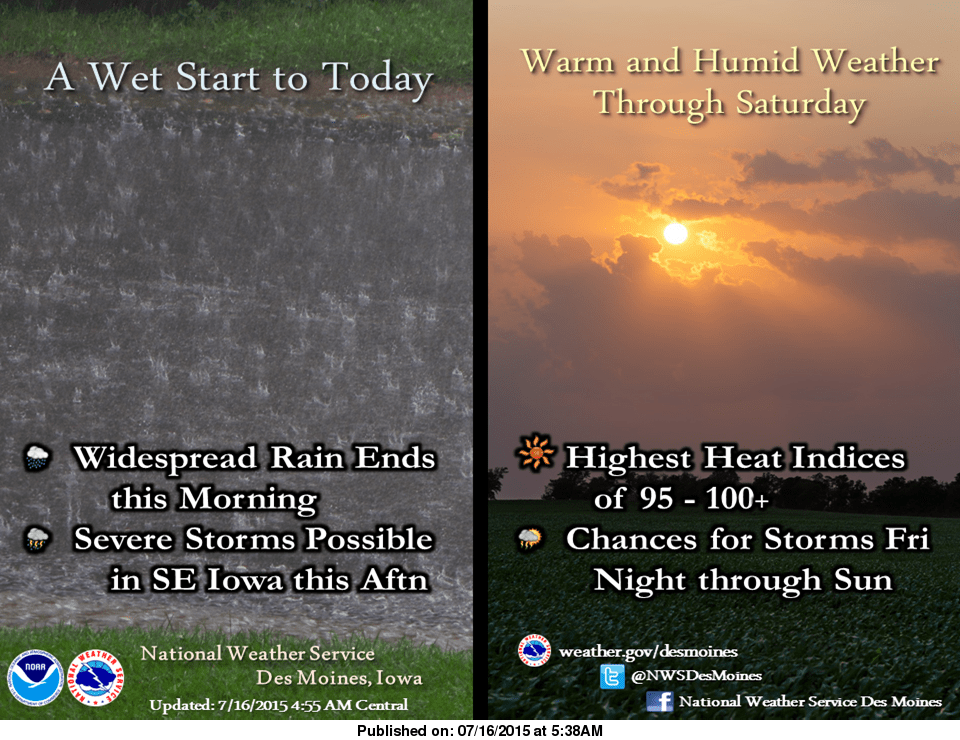
The National Weather Service has issued a flash flood watch until 10 a.m. today.
Overnight rainfall totals exceeding two inches have saturated ground, and additional thunderstorms passing through the area could cause localized flooding. A round of strong thunderstorms could develop later this afternoon. Strong winds and large hail are the primary threats. The Storm Prediction Center has issued a slight risk of severe weather east of I-35 in Iowa.
The storms will give way to hot and humid weather on Saturday and Sunday, with heat index values exceeding 100 degrees in the afternoon and early evening hours. A cool down is expected by Sunday.