
Those dreaming of a White Christmas may be out of luck, but chances are high for snow today throughout most of the state.
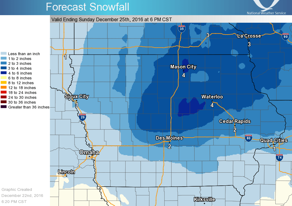
A system is expected to bring 1-3” of snow in south central Iowa through the evening, with higher amounts likely north of Interstate 80. Travel may be slick, with wet snow expected as daytime highs will top out just above freezing.
Most snow will be gone by Sunday, with temperatures in the low-to-mid 50s expected. The record high on December 25th in Marion County is 58 degrees set in 1960. Strong thunderstorms are possible, with rain expected much of the afternoon on Christmas Day. Stay tuned to KNIA/KRLS for the latest winter weather forecast.