
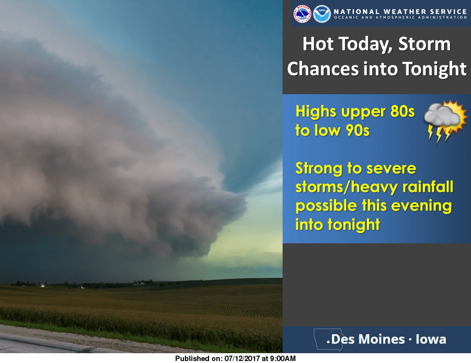
Hot, humid weather this afternoon may lead to the development of strong storms and heavy rain in much of South Central Iowa.
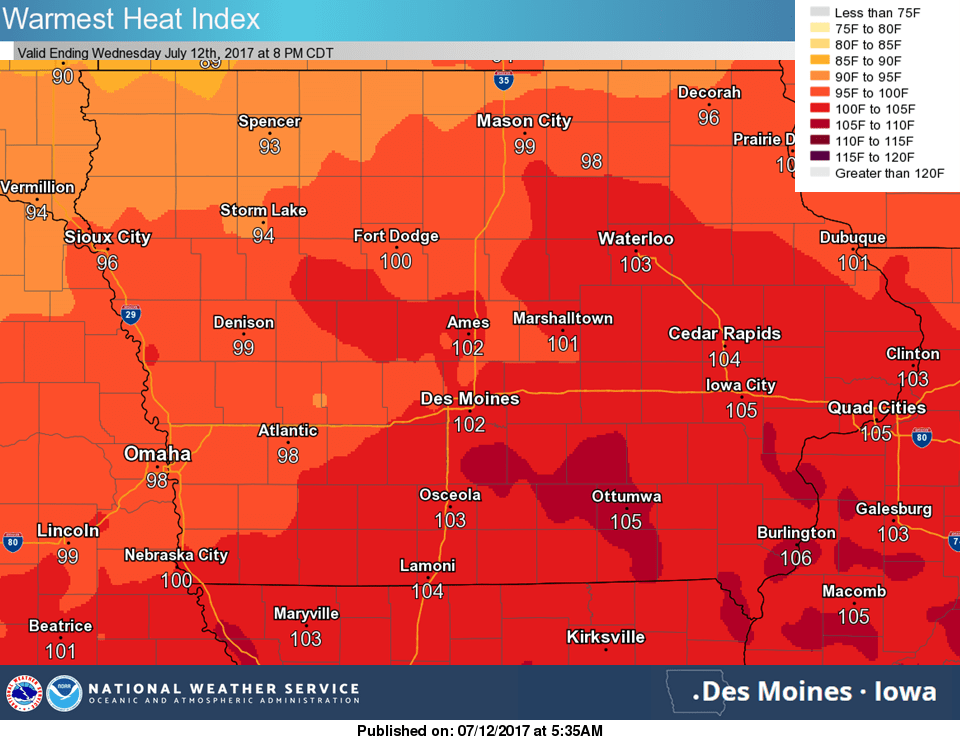
A heat advisory is in effect for Marion County and all surrounding counties until 7 p.m. Heat index values will approach 105 with air temperatures topping out in the mid 90s.
A cold front passing through the state later today may trigger strong thunderstorms, with the primary threats being large hail and damaging winds. A slight risk for severe weather has been issued by the Storm Prediction Center.
Overnight tonight, heavy rainfall may produce localized flooding, with up to two-to-three inches of total rainfall possible over the next 24 hours.
Stay tuned to KNIA/KRLS and visit KNIAKRLS.com for the latest weather information.