
Light to moderate snow fell throughout south central Iowa Thursday. Approximately two inches fell at both KNIA/KRLS studios in Pella and Knoxville, with most of the area seeing between 2 to 3 inches. Nearly 2.5″ of snow was measured in Indianola.
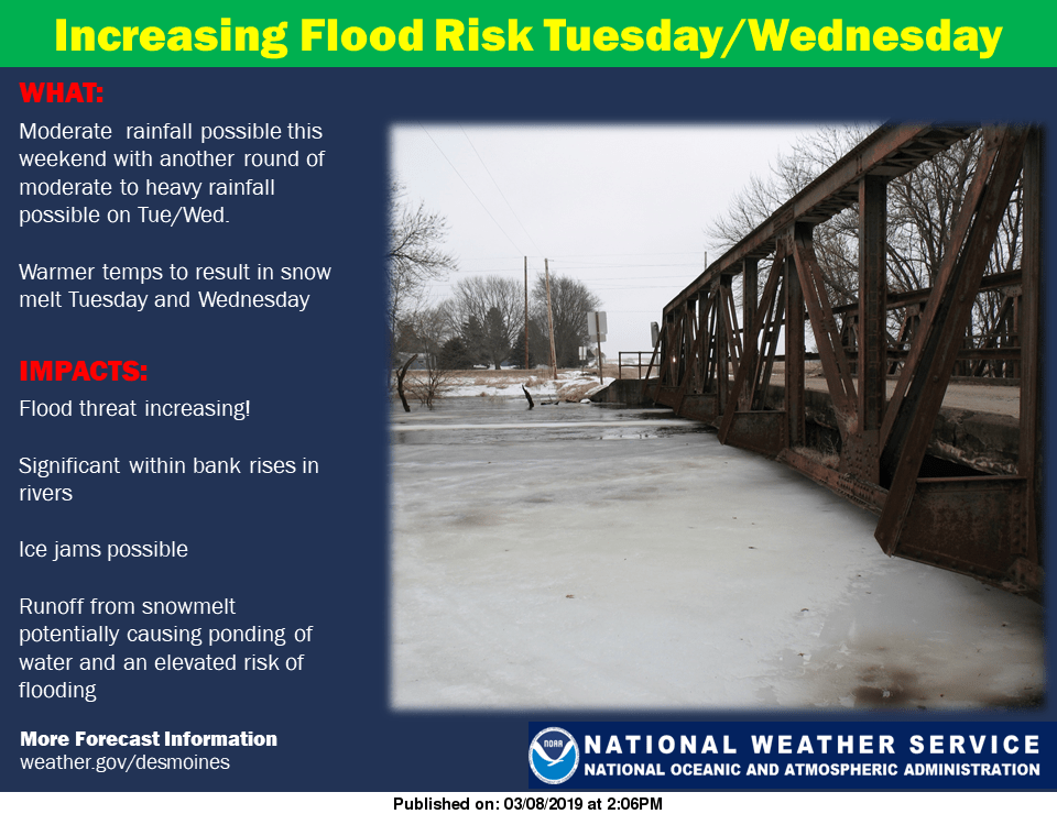
Another system moving through the Midwest this weekend could bring rain to south central Iowa. An increased risk of flooding is in the forecast as moderate to heavy rainfall impacts most of the region. According to the National Weather Service, .5” to 1” of precipitation is possible today, and coupled with temperatures approaching 40 degrees. Melting of heavy snowpack is likely, and with frozen, saturated ground underneath that snow, water will run off quickly, which could cause pooling of water on roadways and localized flooding in area rivers and streams. Residents who encounter a flooded roadway are reminded to turn around and find an alternate route. Additionally, with the rapid changing of air temperature and snow melting, wet roads may freeze overnight and potholes already on many area streets may deepen as well. An elevated risk for flooding relating to snow melting continues into the middle of next week, as another system could bring warmer air and moderate rainfall Tuesday and Wednesday.
Stay tuned to KNIA/KRLS for the latest weather information.