

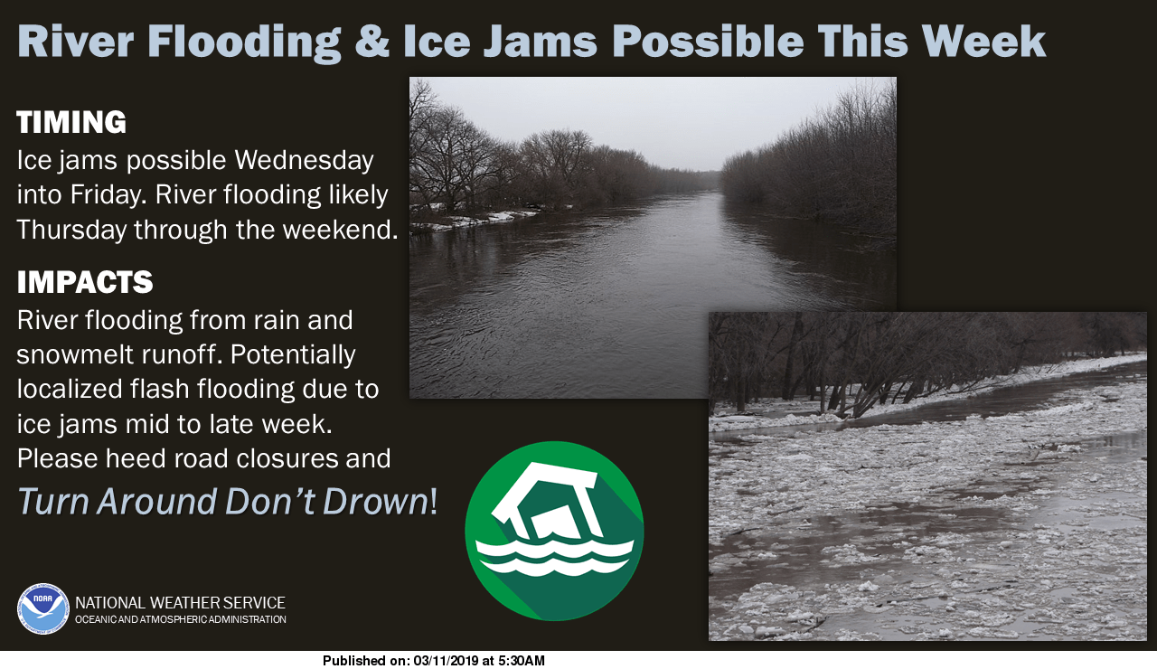
Widespread rainfall will again impact the region through Wednesday, which may cause issues with flooding and area roadways. Between .5” to 1.5” of precipitation is possible with rounds of rain beginning today, continuing through Wednesday evening. A flood watch for Marion County is in effect from Wednesday through Thursday morning. Much warmer air is also coming with the rainfall, which will cause rapid snow melting and could lead to flooding on most area rivers and streams. The Marion County Road Department reports several area roads remain softened due to the saturated ground and additional runoff, and there may be issues the department may be unable to resolve until the weather changes and the freeze/thaw cycles end. They ask drivers to be patient and to never drive through a flooded roadway.