

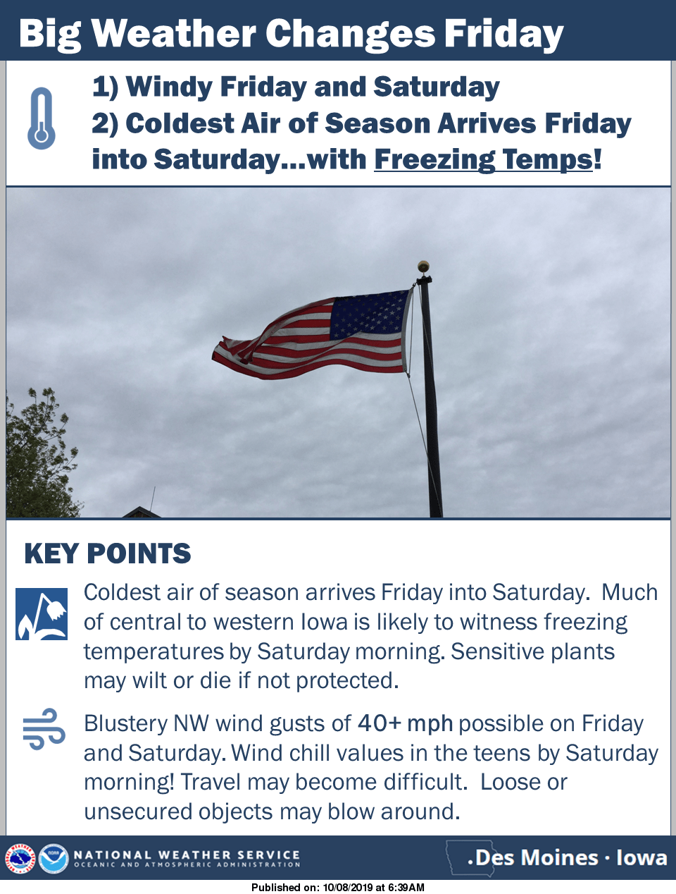
A nearly perfect start to the week of weather in South Central Iowa will look like a distant memory with significant change by the weekend. According to the National Weather Service, widespread showers and storms begin Thursday and will continue into early Friday. Much colder air spreads across the entire region overnight Thursday, and stay steady in the low to mid 40s until Friday evening, when lows will dip to near freezing. Additionally, sustained winds of 15-25 MPH and gusts up to 40 MPH will be possible Friday and Saturday, with early morning wind chills to kick off the weekend well below freezing. The cold burst marks a likely end to the growing season as a significant frost and possible freeze event is possible Saturday morning. The National Weather Service says now is the time to winterize hoses and sprinklers, test smoke and carbon monoxide detectors, replace furnace filters and test the heating system in a home, check on fireplaces and chimneys, clean dryer vents and gutters, and prepare snow removal equipment.