
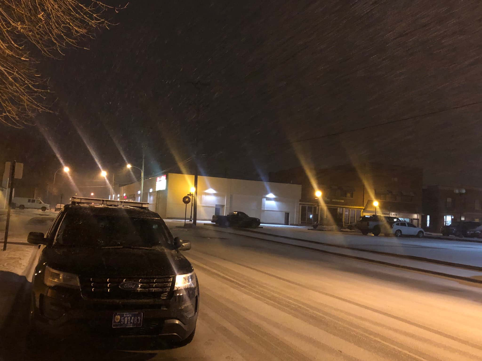
Photo by Indianola PD
Travel is becoming hazardous throughout much of the region as a strong cold front sweeps across central Iowa. Strong winds and light snow are causing low visibility throughout the region, and rapidly cooling temperatures are making area roads slick and ice covered.
Wind chill values will dip to as low as 20 below zero overnight into the early morning hours, and many schools are delaying classes as a result. Bitter cold will stay through Friday morning, when a fairly rapid warm up is expected by the weekend.
Stay tuned to KNIA/KRLS for the latest weather information.