
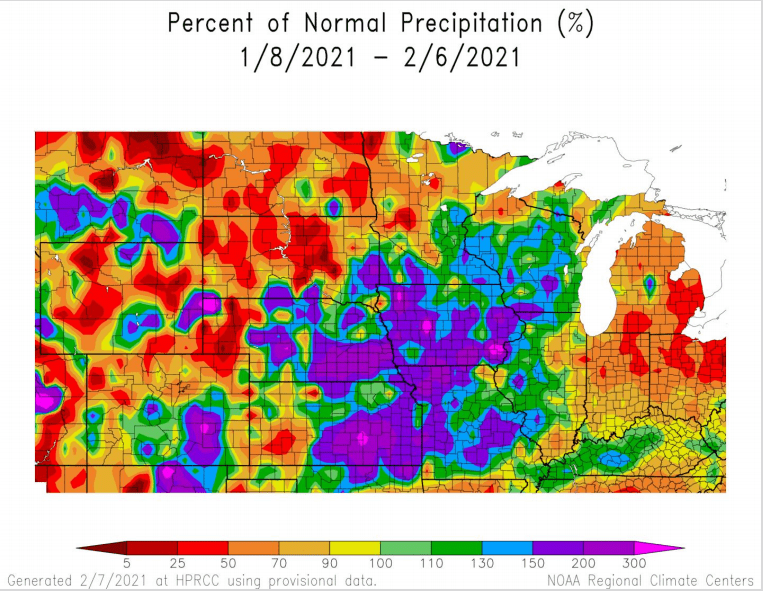
The National Weather Service has issued the first Spring Flood Outlook for the state. According to Senior Hydrologist Jeff Zogg, winter precipitation has been well above normal across most of Iowa. Overall, the risk of minor flooding is increased over the eastern half of Iowa due to above average snowpack, however, the amount of additional precipitation and how fast snow will melt remain contributing factors as to how much occurs. Ice jams will be a concern once thawing begins as well, especially after the stretch of well-below average cold temperatures statewide. Zogg says the offices of the National Weather Service throughout the Midwest coordinate to create flood outlooks as a means to help predict any major river incidents in March through May.
Found the full spring flood outlooks below:
https://www.weather.gov/media/dmx/Hydro/2021_SpringFloodOutlk1_ESFDMX_20210211_FINAL.pdf
https://www.weather.gov/media/dmx/Hydro/20210211_DMX_SpringFloodOutlk1.pdf