
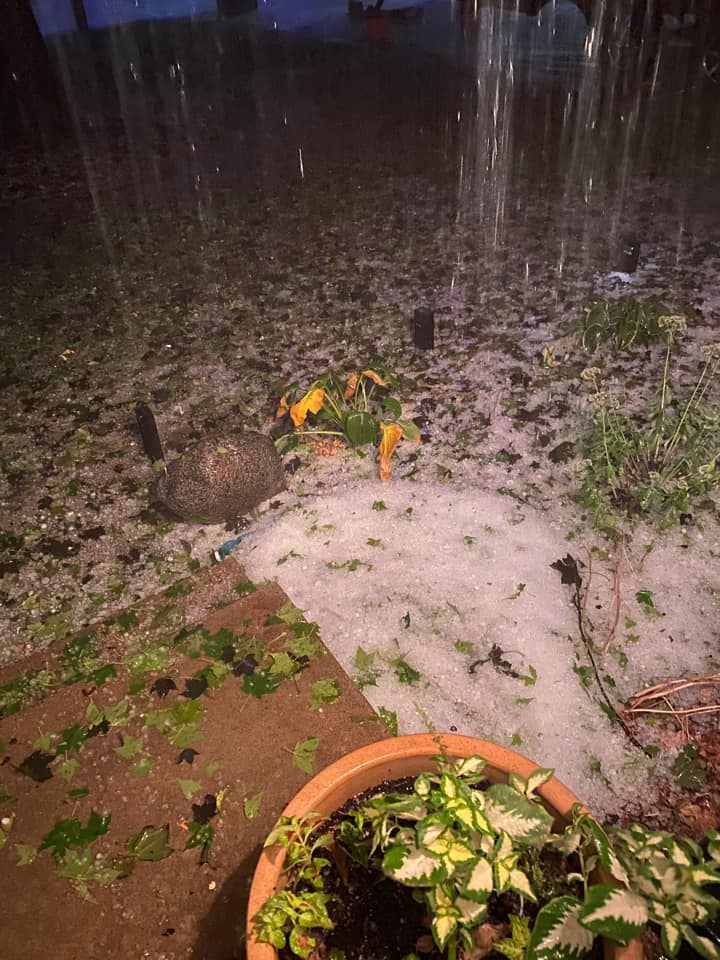
Several severe thunderstorms impacted south central Iowa Saturday evening, bringing hail and heavy rain to many communities. The KNIA/KRLS Severe Weather Action Team was on the air from approximately 7 p.m. until 9:30 for five warnings impacting Marion and Warren Counties. Reports of nickel-sized hail were confirmed in Norwalk, and pea to nickel sized hail in Pella and near Lake Red Rock, and smaller hail multiple times in the Knoxville area. Many area rain gauges were filled as well, with 1-3″ widespread reported throughout Saturday, including (from 6 a.m. to 10 p.m.):
1.95″ in Pella (KNIA/KRLS)
1.5″ in Knoxville (KNIA/KRLS)
1.5″ in Indianola (KNIA/KRLS)
3.6″ near Dutchman’s Landing (west of Pella – 2.6″ between 8 and 10 p.m.)
3.13″ near Lake Red Rock (2.72 between 8 and 10 p.m.)
1.11″ near Norwalk
.86″ near Indianola
1.29″ near Swan
Additional reports of golf ball sized hail came from Chariton and nickel-sized hail also impacted Albia. Ping-pong ball sized hail and heavy rain was also reported in Carlisle to the National Weather Service.
A warm up continues until Tuesday, with highs in the lower-to-mid 90s that afternoon, before fall arrives in the area, with temperatures in the afternoon in the 60s for most of the week starting Wednesday.
The KNIA/KRLS Severe Weather Action Team is on the air for any severe thunderstorm or tornado warning for any portion of Marion and Warren Counties, with backup generators ensuring the coverage stays on if the power goes out.