
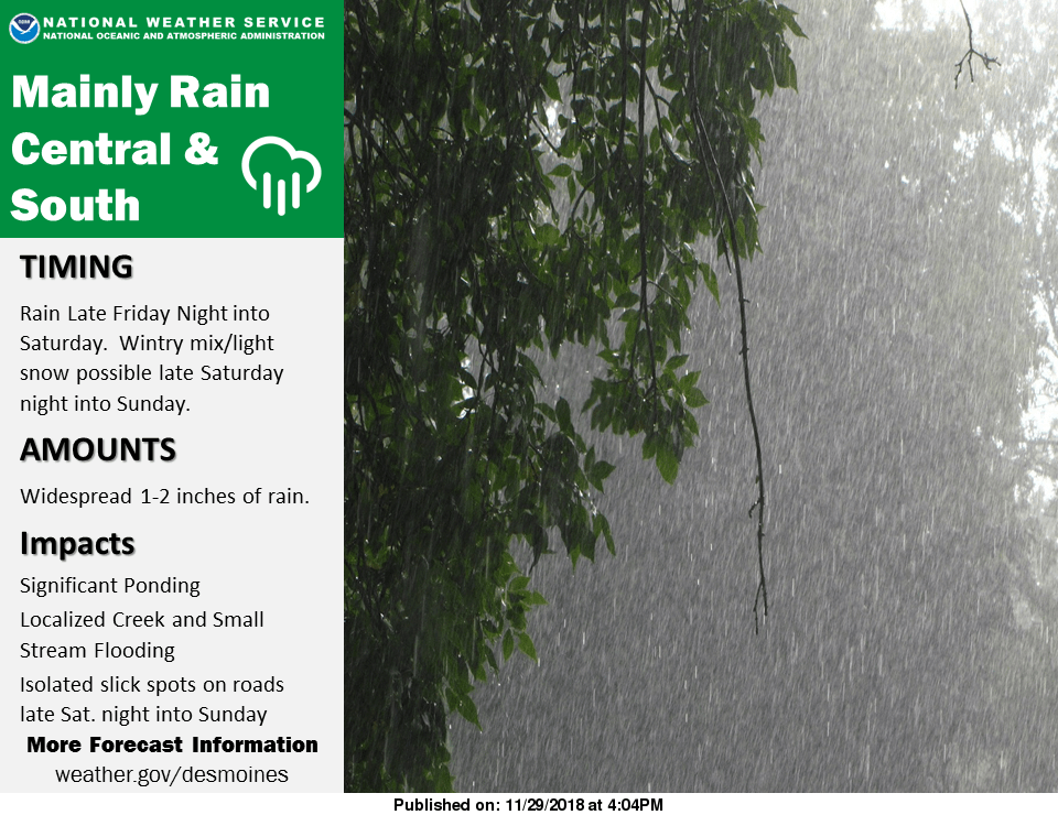
A potential winter storm impacting northwest Iowa make bring moderate to heavy rainfall to south central Iowa, beginning overnight tonight through Sunday.
According to the National Weather Service, between upwards of an inch of rain is possible during that time span, which means localized flooding is possible, especially in areas that received significant snowfall this past Sunday. New precipitation may pond on large areas of snowpack, which will likely be melting throughout the weekend as daytime temperatures climb above freezing. No measurable snow or ice is expected, however, roadways covered in water may refreeze overnight over the next several days.
Stay tuned to 92.1 KRLS for the latest winter weather information.